The ongoing challenge of forest and land fires (karhutla) in Indonesia, particularly across the provinces of West, Central, and South Kalimantan, has prompted a strategic pivot toward advanced technological integration in disaster management. As the National Disaster Management Agency (BNPB) continues to grapple with the rising density of hotspots in these ecologically critical regions, the deployment of thermal-equipped unmanned aerial vehicles (UAVs)—commonly known as drone thermals—has emerged as a pivotal asset. This technological intervention represents a significant shift from traditional manual surveillance toward a data-driven approach designed to detect, track, and neutralize fire threats before they escalate into uncontrollable conflagrations.
The Escalating Crisis in Kalimantan
For decades, the dry seasons in Kalimantan have been synonymous with the threat of wildfires, often exacerbated by the region’s vast peatland ecosystems. Peat fires are notoriously difficult to suppress because they often burn sub-surface, smoldering in dense organic layers for weeks or even months. Traditional satellite monitoring, while effective at identifying broad-scale hotspots, often lacks the spatial resolution required to pinpoint these "hidden" fires.
Data from the Ministry of Environment and Forestry (KLHK) has historically shown that the majority of fire incidents in Kalimantan are linked to land clearing activities and climate variability, such as the El Niño-Southern Oscillation (ENSO), which periodically increases drought conditions. In the current operational cycle, BNPB has reported a sustained increase in thermal anomalies. The urgency of these reports has necessitated a more precise diagnostic tool, leading to the widespread adoption of thermal imaging technology to bridge the gap between satellite-level detection and boots-on-the-ground firefighting.
Decoding Thermal Drone Technology: Beyond the Visual Spectrum
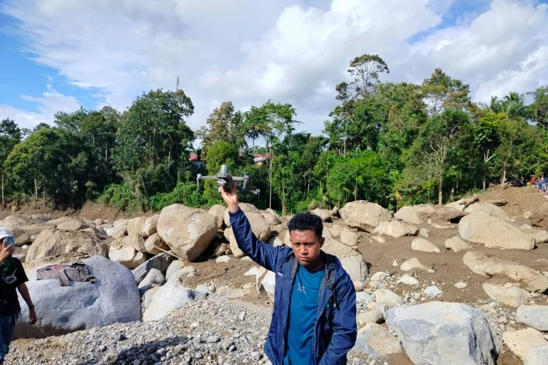
Unlike standard drones equipped with high-definition optical cameras that rely on reflected light, thermal drones utilize sensors capable of detecting infrared radiation. Every object emits heat, or infrared energy, which is invisible to the human eye but measurable through thermal sensors.
In a firefighting context, this allows operators to generate a "heat map" of a landscape. Areas of intense heat—such as active flames, subterranean smoldering peat, or even hot debris—appear as distinct, high-intensity colors against the cooler backdrop of the surrounding forest or soil. This capability is revolutionary for ground crews. Instead of blindly trekking through rugged, smoke-filled terrain to locate a fire, responders can use drone imagery to create a tactical map, identifying exactly where the highest temperatures are located and where the fire is likely to spread.
Tactical Deployment and Operational Chronology
The integration of drone technology into the disaster response framework has followed a structured evolution over the past several years. Initially used for mapping and survey purposes, the technology saw a surge in operational deployment during the severe fire seasons of 2019 and 2023.
- Phase 1: Reconnaissance. Before ground teams are deployed, drones conduct grid-pattern flights over high-risk zones identified by satellite alerts. This reduces the "search time" for firefighting units.
- Phase 2: Sub-surface Detection. In peatland areas, the drones are used to identify "hot spots" that are not visible to the naked eye. This is critical for preventing "zombie fires" that might appear extinguished on the surface but continue to burn deep underground.
- Phase 3: Monitoring and Mopping Up. Once a fire has been suppressed, drones perform "post-fire audits." By scanning the perimeter, they can identify lingering thermal pockets that pose a risk of reignition, ensuring that the fire is fully extinguished before resources are withdrawn.
This workflow has been implemented extensively across South Kalimantan, where the rugged, inaccessible nature of the landscape makes manual monitoring both time-consuming and hazardous.
Official Perspectives and Institutional Integration
Government agencies have recognized that while technology is not a panacea, it is an essential component of modern disaster risk reduction. BNPB officials have emphasized that drone thermal data serves as the "eyes in the sky" for local command centers. By providing real-time intelligence, the agency can optimize the deployment of water-bombing helicopters and ground-based rapid response teams, ensuring that limited resources are directed toward the most critical fire fronts.
Furthermore, the synergy between agencies is becoming more pronounced. The Meteorological, Climatological, and Geophysical Agency (BMKG) provides the atmospheric data that predicts high-risk fire weather, while the military (TNI) and local disaster response teams (BPBD) utilize the drones to execute the tactical side of the mission. This collaborative ecosystem is a testament to the government’s commitment to "smart" disaster management.
The Broader Impact: Environmental and Economic Implications
The economic impact of forest fires in Indonesia is staggering. Beyond the direct costs of fire suppression, which run into trillions of rupiah, the long-term economic losses—ranging from the destruction of biodiversity and timber resources to the disruption of regional air travel and public health crises caused by smoke haze—are immense.
The deployment of thermal drones helps mitigate these impacts by fostering early intervention. When a fire is detected at an early stage, it can often be suppressed within hours. If left undetected, it can spread over hundreds of hectares, requiring weeks of mobilization. By drastically reducing the "response time" to a fire, thermal drones indirectly reduce the carbon emissions associated with large-scale deforestation and protect the health of communities living near the fire zones.
Limitations and the Human Element
Despite the high-tech advancements, experts caution that drone thermal technology has inherent limitations. Factors such as dense forest canopy can sometimes obscure thermal signatures, and weather conditions—such as heavy rain or extremely high humidity—can interfere with the accuracy of infrared sensors.
Moreover, technology cannot replace the physical labor of fire suppression. Once a drone identifies a hotspot, human crews must still traverse the terrain, manually clear fuel breaks, and use water pumps to neutralize the threat. Therefore, the drone serves as a force multiplier—it makes the human element of firefighting more efficient, safer, and more accurate, rather than replacing the necessity for human intervention.
Future Trajectory: Scaling Up and Innovation
Looking ahead, the use of drone thermals is expected to scale significantly. Innovations currently in development include:
- AI Integration: Algorithms that automatically analyze thermal footage to distinguish between forest fires and harmless heat sources, such as machinery or livestock.
- Long-Endurance Drones: UAVs capable of staying aloft for over 12 hours, allowing for continuous, 24/7 surveillance of critical zones.
- Autonomous Swarms: Coordinating multiple drones to cover vast areas of forest simultaneously, creating a comprehensive, real-time map of fire risk across an entire province.
The inclusion of thermal drone technology in Indonesia’s firefighting strategy is a clear signal of the nation’s proactive approach to environmental management. By leveraging these tools, Indonesia is not only improving its response to immediate crises but also building a more resilient infrastructure for the future.
Conclusion
As the dry season continues to pose challenges for the ecosystems of Kalimantan, the reliance on advanced technological assets like thermal drones marks a sophisticated step forward in environmental conservation and disaster management. These tools have proven their utility in detecting the unseen, guiding ground teams with precision, and ensuring that fire suppression efforts are as effective as possible.
While the primary battle against forest and land fires remains a complex struggle involving policy, community education, and economic reform, the contribution of thermal drone technology provides a critical tactical advantage. It is a vital link in the chain of command, transforming raw data into actionable intelligence, and ultimately, acting as a safeguard for Indonesia’s forests and the millions of people who depend on them. Through the continued integration of such technologies, authorities hope to reduce the frequency and severity of these environmental disasters, securing a more stable and sustainable future for the Kalimantan region and beyond.